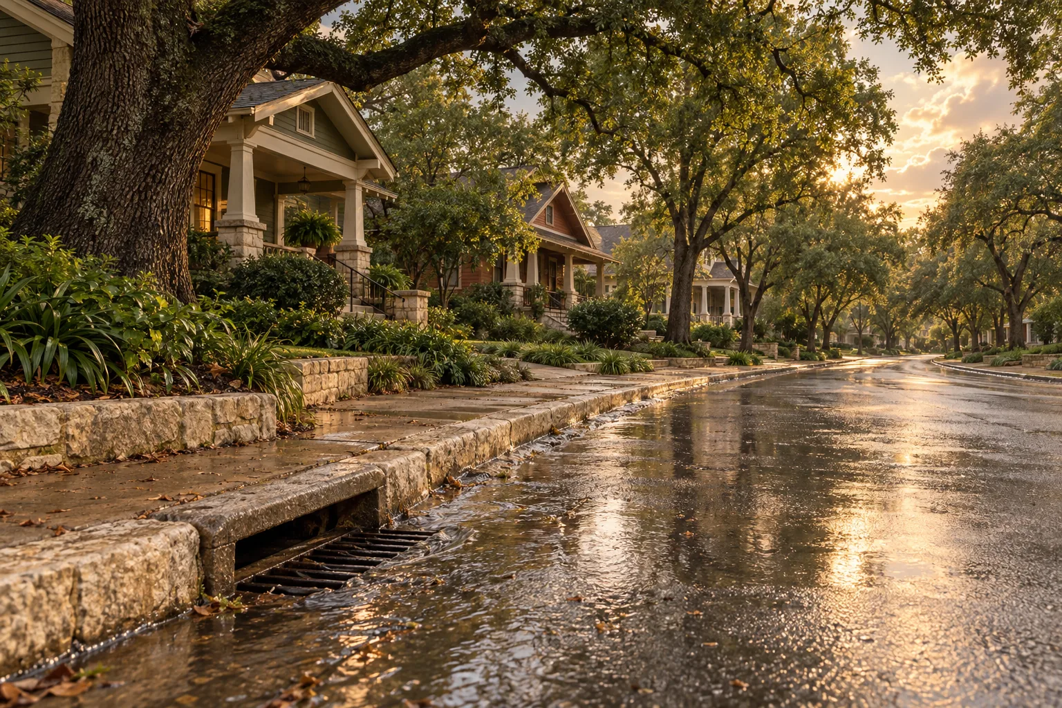
Early voting for Austin's November bond starts October 19, and the Hyde Park drainage project is not on the ballot. The city's own page for the Guadalupe St. Flood Risk Reduction Project says it is "in the design phase," that "construction is years away" and that it "is dependent upon the availability of funding." The construction estimate is more than $100 million.
If you are looking at a house in Hyde Park, that sentence matters more than any listing description. We ran every Hyde Park parcel in our records against the two flood maps that apply to a home here, and the answer is specific: a few streets carry most of the exposure, and the city's fix for them has no money attached yet.
What the maps say about Hyde Park parcels
Our copy of the Travis Central Appraisal District parcel layer holds 729 parcels in the platted Hyde Park additions (the subdivision names that begin "Hyde Park"), about 144 acres. We overlaid two flood layers on them.
| Map | Parcels touching it | Share of 729 |
|---|---|---|
| FEMA high-risk zone (Zone AE) | 60 | 8.2% |
| City of Austin fully developed floodplain, 25-year or 100-year | 75 | 10.3% |
| City 25-year floodplain (counted in the row above) | 59 | 8.1% |
| In the city's map but not FEMA's | 15 | 2.1% |
The gap between the first two rows is the point. All 60 FEMA parcels also show up in the city's map, and the city's map adds 15 more. KUT reported in 2025 that the city's regulatory floodplain map "often shows a higher level of risk than the FEMA maps." A buyer who checks only the FEMA map can miss a lot the city would treat as floodplain when someone applies for a building permit.
Where the exposure sits
It is not spread evenly. Of the 60 parcels in the FEMA zone, 28 are on Avenue D, 15 on Speedway, 10 on Avenue F and 4 on Avenue G. One each sits on Avenue H, on a street our records list only as "C," and on East 44th Street. That is the west and central side of the neighborhood, the same ground the city's project boundaries cover: Avenue D, West 33rd Street, Guadalupe Street and West 47th Street, around the Hemphill Branch of Waller Creek.
Two cautions on reading this. "Touching" means any overlap between the appraisal parcel and the flood polygon, so a parcel that clips a corner of the zone counts. And a parcel in a flood area is not the same as a house in one; the structure's elevation is what an insurer and a lender will ask about.
The city's map has been tested in practice. In 2019 City Council approved a floodplain variance for a lot in the 4500 block of Avenue D to replace a 1935 house. The Austin Monitor reported that the old structure sat 1.7 feet below the 100-year floodplain, the new one had to be built 3 feet above it, and the estimated water depth at the curb in a 100-year flood was 2.9 feet.
What flood insurance records show
FEMA publishes National Flood Insurance Program claims and policy counts by mailing ZIP. ZIP 78751 is larger than Hyde Park, so treat this as the area, not the neighborhood.
- 2015: 26 claims, about $640,000 paid on buildings. That is the year of the Memorial Day storm; the Monitor reported residents pointing to undersized sewer drains and a blocked pond pipe near Guadalupe and West 45th Street.
- 2004: 20 claims, about $354,000 paid on buildings.
- Policies in force on July 1: 157 in 2009, 449 in 2022, 404 in 2025.
- Other years since 2009: zero or a handful of claims.
Two years stand out, and the rest are quiet. That is how this kind of flooding behaves, and it is why a house can look dry for a decade and still sit in a mapped zone.
What the city plans to build
The Guadalupe St. project, which the city also describes as the Hyde Park/North University flood risk reduction project, would upgrade about 20,000 feet of storm drain pipe, rework the Triangle Pond outfall and its two main headwalls, add debris blockers, stabilize the Hemphill Branch bank inside Adams-Hemphill Neighborhood Park and add detention. In a 25-year storm, the city estimates 224 buildings are at risk of flooding. Its modeling shows 178 of them would no longer flood. The city says it is "considering dividing construction into multiple phases" because of the cost. The city's local flooding page has the current wording.
A 25-year storm is a 4 percent chance in any year, about 9 inches of rain in 24 hours by the city's definition. The project does not remove a house from FEMA's map. It reduces how often water gets into buildings, and the map only changes when FEMA revises it.
Why it is not on the November ballot
A May 15, 2026 staff memo on the bond lists a stormwater working group's initial draft, and "Waller Creek - Guadalupe St Flood Risk Reduction Project Ph 1-3" appears in it at $35 million. The same memo recommended waiting for a 2028 election. On August 6, Council ordered a November 3 election on two measures instead: up to $260 million for parks, recreation and open space, and up to $35 million for libraries. The ordinance text names no drainage or flood project. The tax effect the city and Austin Current cite is about $40 a year more on a $485,000 home.
That is a statement about this ballot, not a prediction. The memo also flagged watershed protection as an area to consider in the FY 2027 budget. For the full bond, and the October 19 to 30 early voting window, the sister site Austin Texas Things has a plain explainer of the $295 million parks and libraries bond.
What this means if you're buying, selling or owning in Hyde Park
Buying. Look up the specific address on both maps before you write an offer: FEMA's map service center and the city's FloodPro tool. FEMA says high-risk flood areas begin with the letters A or V and that, with a government-backed mortgage in such a zone, you must buy flood insurance. Get a flood insurance quote before the option period ends, and ask the seller for any elevation certificate and past claims.
Selling. A house outside the FEMA zone but inside the city's floodplain can still need extra review for an addition or rebuild. Having the elevation certificate in hand answers a buyer's first question before they ask it.
Owning. The project is years away, so the practical steps are the ones in your control: keep inlets and gutters clear, know where your lot drains, and ask a licensed insurance agent whether your current policy covers flood damage.
Anywhere in Austin. The city has been updating its floodplain studies. KUT reported in 2025 that the update raised the count of buildings in high-risk areas from about 7,000 to around 10,000, with the first studies expected to conclude in mid-2026. Map vintage matters; check the date on whatever you are reading.
How we pulled this
Parcels are the Travis Central Appraisal District public layer assembled by Travis County (fetched October 5, 2026; 373,524 parcels countywide). Appraisal parcels are not survey boundaries and the geometry is generalized. FEMA zones are the National Flood Hazard Layer; our copy's latest panel date is June 10, 2026, and Travis County panels carry effective dates from 2008 to 2020. The city layer is the Watershed Protection fully developed floodplain, modeled for development regulation; its first feature is dated April 27, 2023 and it is not the FEMA regulatory map. NFIP figures are from OpenFEMA claims and policy records (source date June 1, 2026; the current year is partial). "Hyde Park parcels" means parcels whose TCAD subdivision name begins "Hyde Park." Percentages and street counts are our arithmetic. We did not use owner names. This is general education and not a flood determination or advice about a particular property.
Neighborhood context for the area is on our Hyde Park page, and our guide to what is being built near an address covers the permit side. The citywide records behind this piece sit in our research tools.
One next step
If you are weighing a specific house in Hyde Park or the streets around it, a local agent can pull both flood maps and the permit history for that address with you before you commit. Start at our get started page.