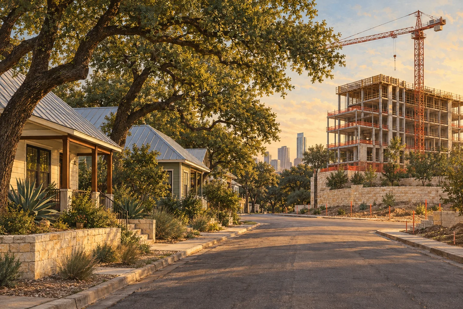
On September 16, a rezoning request landed at the City of Austin for about seven acres on Tillery Street, Govalle Avenue and Linden Street in East Austin. It asks for one specific thing: to add the city's new "DBCBase" label to land that is already zoned for commercial use. It is one of four sites to ask for a citywide density bonus district since the program took effect on June 1,, and the only one so far in East Austin's 78702.
If you own, rent or are thinking about buying near a site like this, the useful question is not "will it be approved." It is "what would the rules actually let someone build, and what protects the lot next door." The ordinance answers that in plain numbers, so here they are.
The filing, as the city's records show it
Austin's zoning case records list three related cases on the same Tillery Street parcel group, all filed September 16, 2026, all "In Review" as of the city's September 28 status date, all in Council District 3. We read them from our copy of the city's zoning case data.
| Case | Type | What the record shows |
|---|---|---|
| C14-2026-0067 | Zoning/Rezoning | CS-MU-CO-NP to CS-MU-CO-DBCBase-NP, two tracts, about 7.2 acres by the city's mapped outline |
| NPA-2026-0016.01 | Amended neighborhood plan | Same site; the city tags the request "MF," which points to a multifamily land-use change |
| C14-02-0183(RCT) | Restrictive covenant termination | 1120 Tillery St., about 3.4 acres, tied to an earlier case, C14-02-0183 |
Two things in that table are worth reading slowly. First, the base zoning in the request does not change: "CS" is general commercial services, and it stays. What is added is the density bonus label. Second, a neighborhood plan amendment and a covenant termination ride along, which means this is not only a label swap. We did not find staff review sheets for these cases, so we are not describing the project, the number of homes or who applied. The city's Development Tracker is where the hearing dates and staff reports will appear.
What the density bonus is, in the ordinance's words
On May 21, 2026, the City Council adopted Ordinance No. 20260521-056, which took effect June 1. KUT reported the vote as 10 to 1. The ordinance creates five new combining districts, DBCBase, DBC15, DBC30, DBC45 and DBC60, and the number is the extra height in feet on top of what the base zoning already allows. DBCBase adds none.
The program is voluntary and it is not automatic. A property has to be rezoned into a DBC district, which means going through the city's rezoning process. It can be combined only with these base zones: CH, CS-1, CS, GR, LR, GO, LO and NO. Single-family and multifamily base zones are not on the list. The same ordinance stops the city from accepting new applications for the older DB90 and vertical mixed-use overlays, so DBC is now the tool.
What a DBC site gets, and what it gives
- Housing and extra uses. Residential uses are allowed, along with commercial uses on a list that includes restaurants without drive-ins, retail and personal services. Non-residential space is capped at 35 percent of a building, and where a site faces a principal street, 75 percent of the ground floor must be commercial or civic uses unless the rezoning ordinance modifies that.
- Relief from several site rules. No story limit, and no base-zone limits on floor area ratio, building coverage, density or minimum site area. Setbacks are waived too, with a catch: if the street right-of-way is under 60 feet wide, a building of three or more stories must sit at least 30 feet from the street's centerline.
- Affordable homes in exchange. At least 10 percent of the homes must be income-restricted. For rentals that means households at or below 50 percent of median family income; for homes sold, 80 percent. An applicant can instead pay a fee in lieu into the Housing Trust Fund. The ordinance says the rental fee-in-lieu option applies only to applications submitted on or after October 1, 2026, which was last Thursday.
- A wider sidewalk. The site must provide the full recommended "pedestrian zone" width from the city's Transportation Criteria Manual, even if it has to be on the site itself.
The protections for the lot next door
This is the section that matters if you live beside a site that might use the program. The ordinance replaces the city's standard compatibility rules with its own, and it defines who is protected: a "triggering property" is one with at least one but fewer than four dwelling units that is zoned SF-5 or a more restrictive single-family category. Next to a triggering property, the ordinance sets these rules:
| Rule | Limit |
|---|---|
| Height within 50 feet of the property | No more than 60 feet |
| Height within 75 feet of the property | No more than 120 feet |
| Buffer along the shared property line | At least 25 feet wide |
| Exterior lighting | Hooded or shielded so the source is not visible from the shared line |
| Rooftop and other mechanical equipment | Screened; no more than 70 decibels at the shared line |
| Trash slab | Not within 15 feet |
| Resident-only amenities (decks, pools) | Not within 25 feet, except a multi-use trail |
Read the first two rows together: the limits are on the structure's distance from the neighboring property, not on how tall the building is overall. Anyone checking a specific block should look at where the site boundary actually sits against the neighboring lots, because that distance decides which row applies.
What the zoning map shows around the Tillery site
We measured the zoning within 150 meters, about 500 feet, of the mapped outline of case C14-2026-0067, using the city's zoning layer. This is a map measure of nearby zoning, not a list of which lots touch the site.
| Base zone | What it is | Acres |
|---|---|---|
| SF-3 | Family residence | 24.6 |
| P | Public | 6.7 |
| MF-3 | Medium-density multifamily | 5.4 |
| LO | Limited office | 1.4 |
| SF-4A | Single-family small lot | 1.4 |
| SF-5 | Urban family residence | 1.1 |
SF-3, SF-4A and SF-5 together are about 27 of roughly 41 acres. Zoning is not the same as what is built on a lot, so whether a particular neighbor meets the "triggering property" test depends on how many dwelling units are actually there. Where a rezoning is approved, the city's ordinance for that case can also change the numbers above.
Four sites so far
Since June 1, the city's records show 42 zoning-related cases filed, 24 of them rezonings. Four rezonings ask for a DBC district, on four sites.
| Site | Filed | Request | Council district |
|---|---|---|---|
| 3405 Steck Ave. (78757) | June 12 | LI to CS-DBC60 | 7 |
| 2020 W. Anderson Ln. (78757) | June 26 | GR-CO-NP to GR-DBC60-NP | 4 |
| Tillery St., Govalle Ave., Linden St. (78702) | Sept. 16 | CS-MU-CO-NP to CS-MU-CO-DBCBase-NP | 3 |
| Berkman Revision (78723) | Sept. 17 | MF-5 to GR-DBC-Base | 4 |
Two of the four ask for DBC60, the top height tier. The other two, Tillery and Berkman, ask for the base level, which adds no height; Berkman also changes the base zone itself. The Anderson Lane request is listed as scheduled for a hearing. A fifth filing in 78702, 1900 Rosewood Block, asks for the older DB90 district and is allowed to continue because it was pending when the new ordinance took effect. Four is a small sample, but it is the whole early record.
What this means if you're buying, selling or living nearby
If you own a home near a filing. Look up the case number, not the address. The city's Development Tracker shows hearing dates, and the staff report will say what the applicant has said it intends to build. The compatibility table above is the baseline protection for single-family lots; ask the city whether the rezoning ordinance would change it for this site.
If you are buying nearby. A filing is a request, not a decision. Rezonings go through a public hearing process, and cases can be postponed, changed or withdrawn. Ask your agent to pull the zoning cases within a few blocks of any address you are serious about, and read each one's current status. Our research does not say what any filing does to a home's value, and a filing alone can't.
If you are selling nearby. If a buyer asks about nearby development, a case number and a link to the city's record is a straight answer, and it is better than a guess. A local agent can help you gather it; start from our selling page.
If you are renting. The 10 percent income-restricted share is a requirement on new development built under the program. It is a rule about what gets built, not about rents in nearby buildings.
For the neighborhood itself, see our Govalle guide. For a look at development filings across Austin, see Austin development, and for a record-level search of zoning and site-plan cases, our partner site Zabalist keeps Austin's zoning cases in one searchable list. Last week's piece on permits on homes is at Austin permitted 1,205 new houses in eight weeks.
How we pulled this
The zoning case figures come from the City of Austin's zoning case records (data.austintexas.gov) and the city's mapped case outlines, held in the Zabalist research database. The layer was synced September 30, 2026 (7,097 cases; newest filing in our copy September 25), and the city's data freshness table flagged some other ingestion jobs, not this one, as having an error on October 4. Acreage and nearby-zoning figures are our measurement from the city's map outlines and are approximate. "Since June 1" counts cases by filing date in our copy. The ordinance text is the city's own. Applicant names and addresses are not part of this analysis. This article is general education and not advice about a particular property; for a specific lot, ask the City of Austin's Housing and Planning staff or a licensed professional.
One next step
If you are weighing a specific block in East Austin, a local agent can pull the zoning cases and permits around that address with you before you make an offer. Start at our get started page.