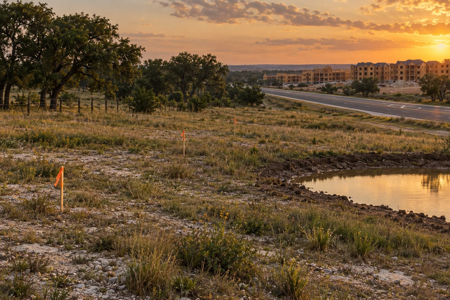
Two applications have been filed in the last two weeks for the same tract of land on East Yager Lane in northeast Austin. On October 5, a site plan called "Tech Ridge I" was filed for multifamily development at 4867½ E. Yager Lane. On October 12, a second, "Tech Ridge II," was filed at the same address and the same tax parcel, this time for townhomes. Neither has a case number yet. Both read "Intake Pending."
That is as far as the record goes, and it is worth being plain about what it does and does not say. Nothing is approved. Nothing says how many homes are proposed. But two filings on one parcel, one for apartments and one for townhomes, tell a nearby owner or buyer something specific about what the land might become, and they tell you where to look next.
What was filed
| Case name | Filed | City's description | Status |
|---|---|---|---|
| Tech Ridge I | Oct. 5, 2026 | "Multifamily development along with associated improvements" | Intake Pending |
| Tech Ridge II | Oct. 12, 2026 | "Townhome development along with associated improvements" | Intake Pending |
Both records point to Travis County tax parcel 0242310209, whose legal description gives 10.015 acres. The City's record lists the ZIP as 78754 and the jurisdiction as "Austin 2 Mile ETJ," meaning the land sits outside the city limits, in the ring the City calls its extraterritorial jurisdiction. The City's own site plan page says a formal site plan review applies to projects "within the City of Austin's full-purpose, limited-purpose, and extraterritorial (ETJ) jurisdictions," so a filing here is routine, not unusual.
The City's page does not define "Intake Pending." In our data it appears on filings that have no case number yet; the filings in the same feed that do have case numbers read "In Review" or "CC Pending." Our reading is that these two have been submitted but have not yet been accepted for review. That is our inference, not a City definition.
The same parcel has been here before
This is not the first record on the tract. On October 29, 2025, a small-project site plan named "Keystone Yager" (SP-2025-0347DS) was filed for the same parcel to "fill an existing stock pond with associated improvements." It reads "In Review," with its last status change on April 8, 2026. The land's earlier use in the record is "Raw/Undeveloped."
For a reader, the pond matters because ponds move water. A site plan is the document where the City reviews drainage, and its site plan page lists "drainage and floodplain" and impervious cover among the things checked. Our flood layer shows the parcel in FEMA zone X, "area of minimal flood hazard" (FEMA flood map layer dated June 10, 2026, pulled September 30). That is a map designation for the parcel, not a statement about runoff to neighbors, and the records do not yet include a drainage design.
The record labels the watershed class "Suburban Watershed." In our district table (derived from the Texas Commission on Environmental Quality's directory) the only district whose boundary covers the parcel is the Lower Colorado River Authority; we found no municipal utility district boundary there. If that holds, there would be no MUD tax line on this land, but the tax bill for anything built on it is a question for the county, not for a table of ours.
What else is filed along E. Yager Lane
| Record | Address | What it is | Status |
|---|---|---|---|
| SP-2021-0034D and (XT) extension, "BKO Parmer" | 4801 E. Yager Ln. | Released site plan on 20.708 acres; a 2026 extension is described as residential/mixed-use | Plan: Approved and Released. Extension filed Mar. 11, 2026: In Review |
| SP-2025-0083D, "Cameron Yager - Multifamily" | 4915 E. Yager Ln. | Multifamily development on undeveloped land | Inactive (status date Sept. 20, 2025) |
| SP-2026-0232DS and SP-2026-0319DS | E. Yager Ln. at Parmer Ln. | A 200-foot right-turn lane on the northbound approach, east of Samsung Blvd.; filed twice (July 28 and Oct. 1) | CC Pending |
The pattern is plain. There is an approved plan for the larger tract next door at 4801, a multifamily plan at 4915 that went inactive a year ago, a road change at the corner, and now two new filings. The 4801 extension is the record to watch: it is the one that says whether the approved plan next door stays alive.
What has actually been permitted nearby
Filings are intentions. Building permits are closer to ground. We counted new building permits issued within about two kilometers (1.2 miles) of the parcel's coordinates.
| Year issued | Single-family houses (R-101) | Two-family buildings (R-103) | Five-or-more-family buildings (C-105) |
|---|---|---|---|
| 2022 | 0 | 0 | 1 |
| 2023 | 0 | 0 | 0 |
| 2024 | 0 | 0 | 7 |
| 2025 | 14 | 202 | 0 |
| 2026 to date | 0 | 0 | 0 |
The 202 two-family permits in 2025 are mostly described as condo-regime duplex units, so this one corner of northeast Austin is already seeing a lot of attached housing. No new permits in these classes appear so far this year, which can mean a pause or can mean the City's feed is behind: the freshness table shows the permits sync flagged with an error as of October 18. We would not read it as either until the next sync.
What this means if you're buying or renting nearby
A filing is not an approval. The records show an application, not a decision. A site plan can be corrected, changed, withdrawn or approved; the filing alone does not say which.
Ask for the numbers. The City's records do not list a unit count, acreage of buildings, or impervious cover for either case. Those details sit in the plan set. Once a case number is assigned, the case manager named on the City's notice is the person to ask.
Notice rules may differ here. The City's development notifications page says a notice of filing goes to owners and utility account holders within 500 feet, plus registered neighborhood organizations. The page does not mention the ETJ, so do not assume a letter will arrive; look the case up yourself.
Read the land use as a fact about the land. If you are considering a home or a lease near here, apartments and townhomes on a 10-acre tract are a fact about the land use around it. Visit at different times of day, and read the approved plan instead of guessing from a name.
Where to look
The full record for each case is on Zabalist, our sister research site: Tech Ridge I and Tech Ridge II. Our guide to what is being built near an address explains the other places to check, and the Austin development page collects what we track. For a comparable site-plan story from last week, see A 330-Unit Heatherly Drive Plan Asks for One More Year.
How we pulled this
Site-plan records come from the Zabalist research database, which mirrors City of Austin development applications. The freshness table shows site plans last synced October 18, 2026 at 10:14 UTC with the sync status flagged as an error, so a status change after October 14 may not appear here. Permit counts come from the same database's mirror of the City's building permits, selected by distance from the parcel's coordinates. The flood designation is from FEMA's flood map layer, and the district boundary from the Texas Commission on Environmental Quality's directory, both as mirrored in the same database. Process facts are from the City's site plan page and development notifications page, both read October 19, 2026.
This is general information, not advice about a particular property or permit.
One next step
If you are weighing a home near a tract like this, a local agent can pull the plan and permit records for the address with you before you make an offer. Start at our get started page.